A Walk Along
A Walk Along (2019)
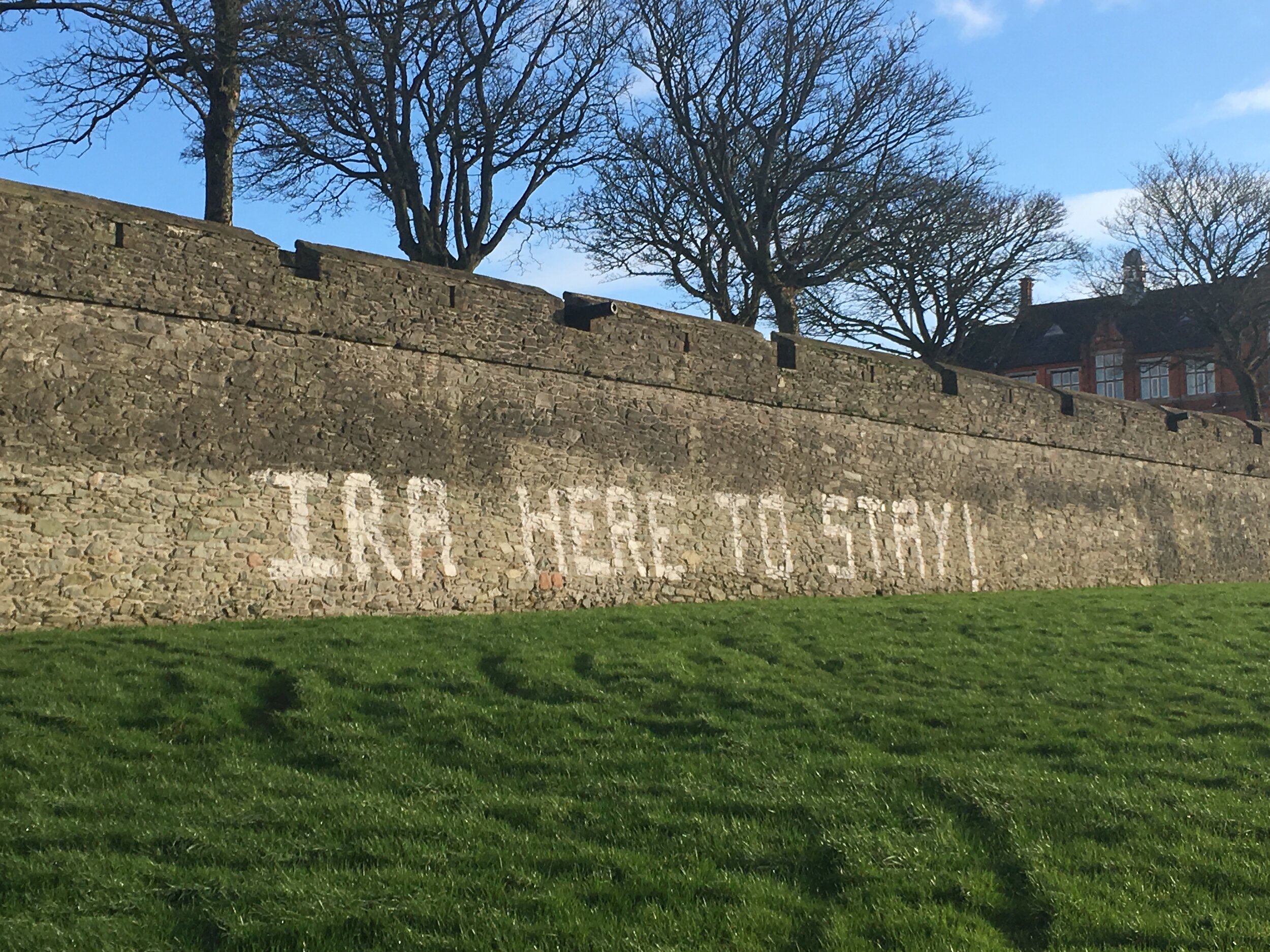
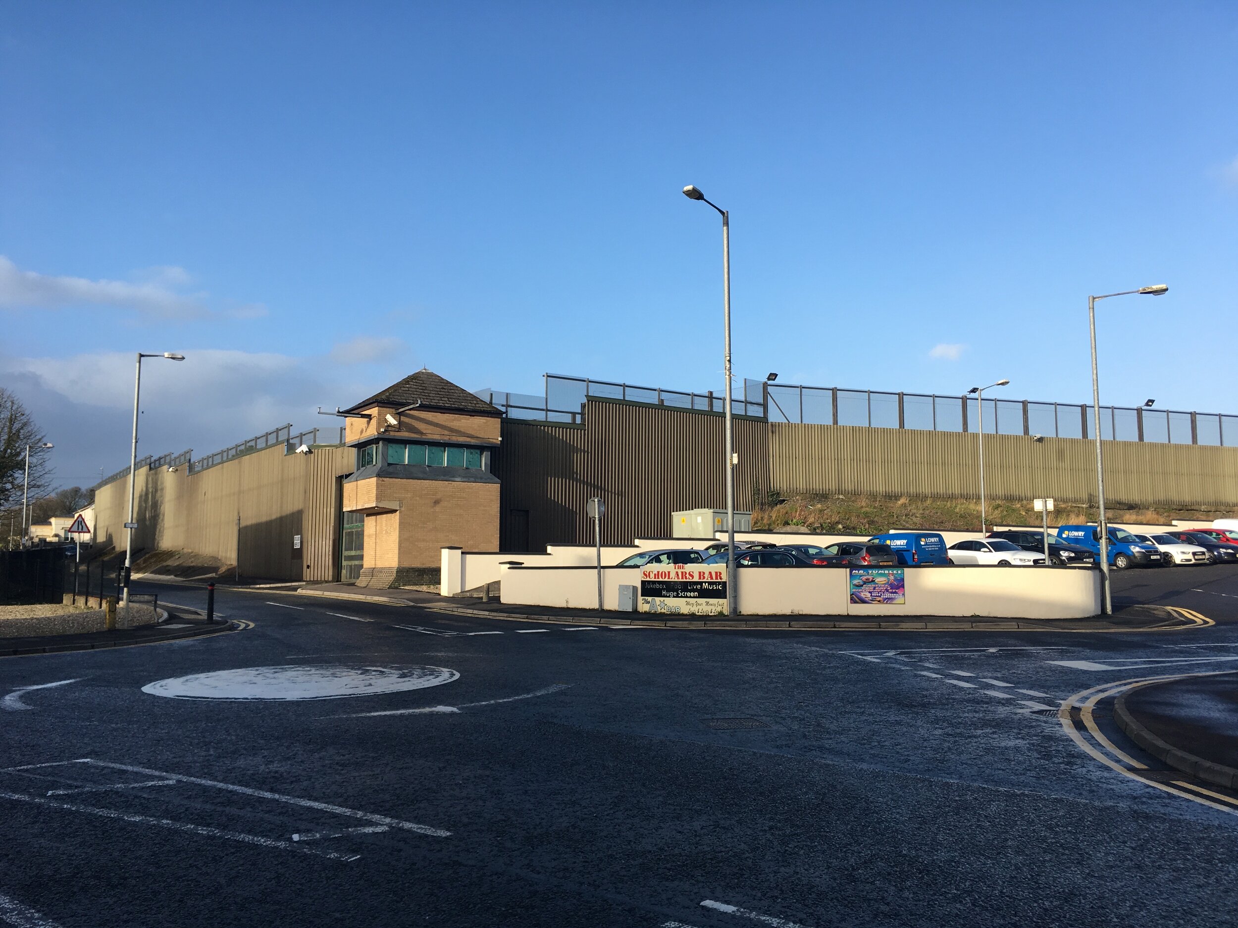
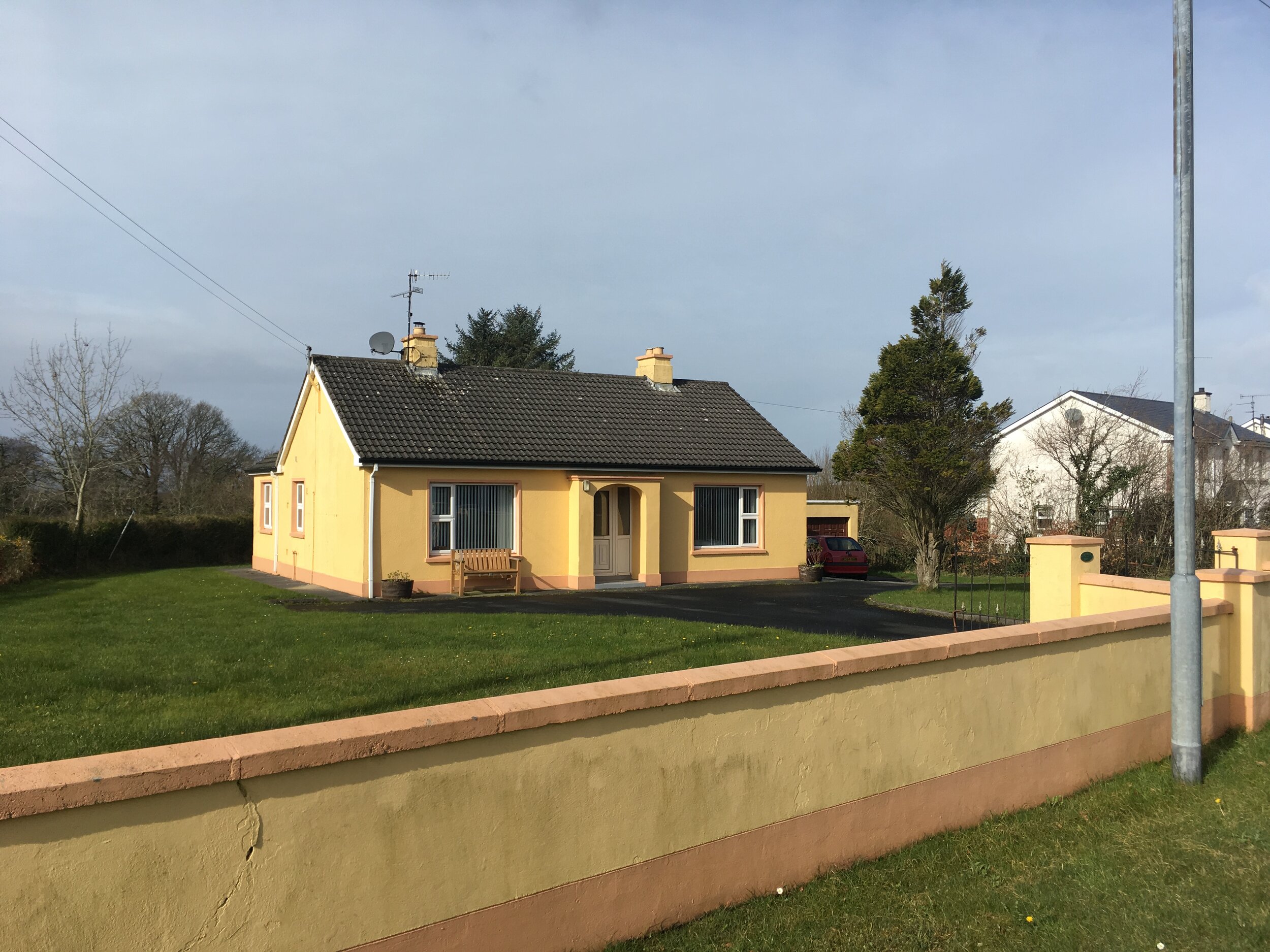
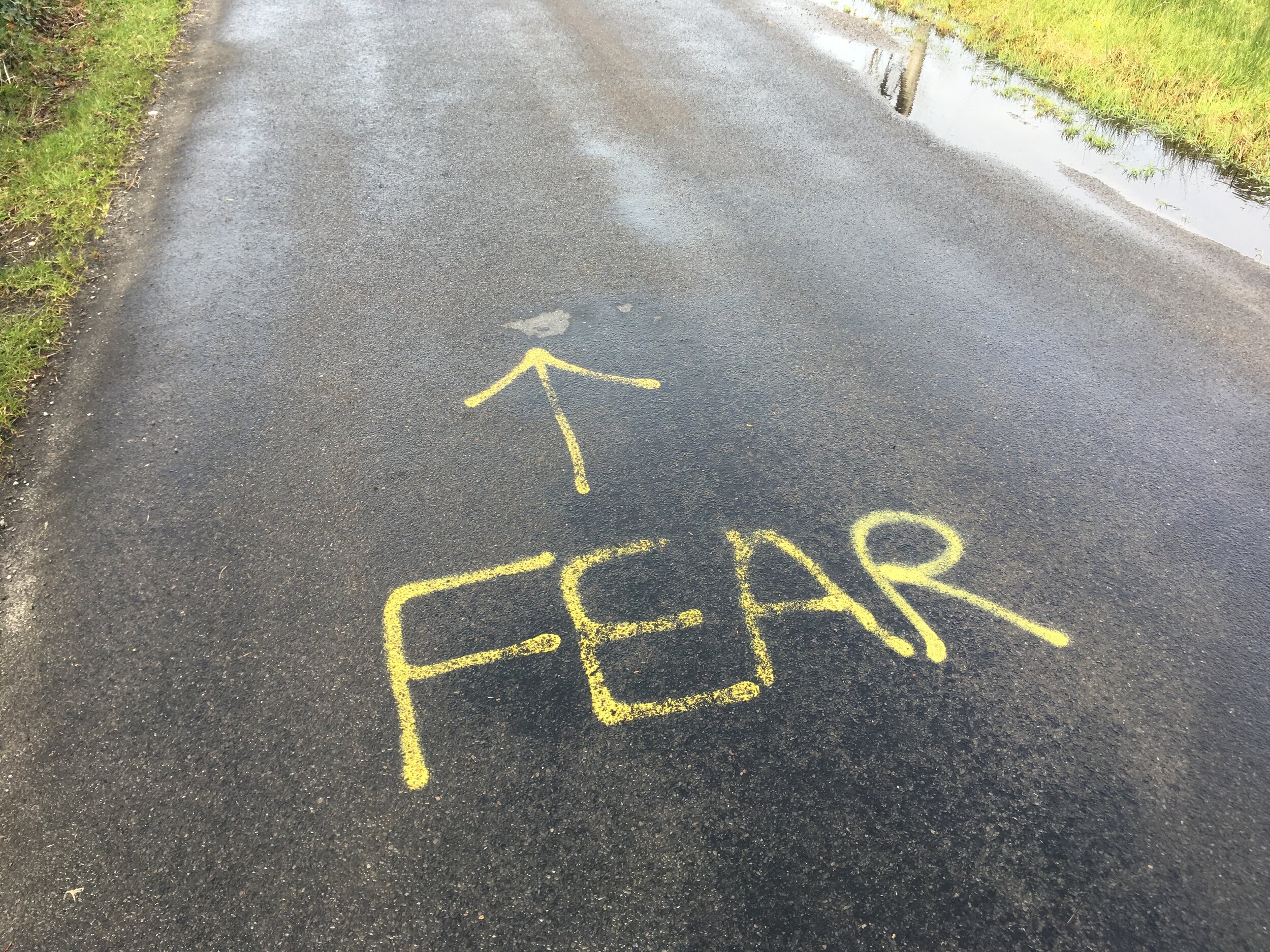
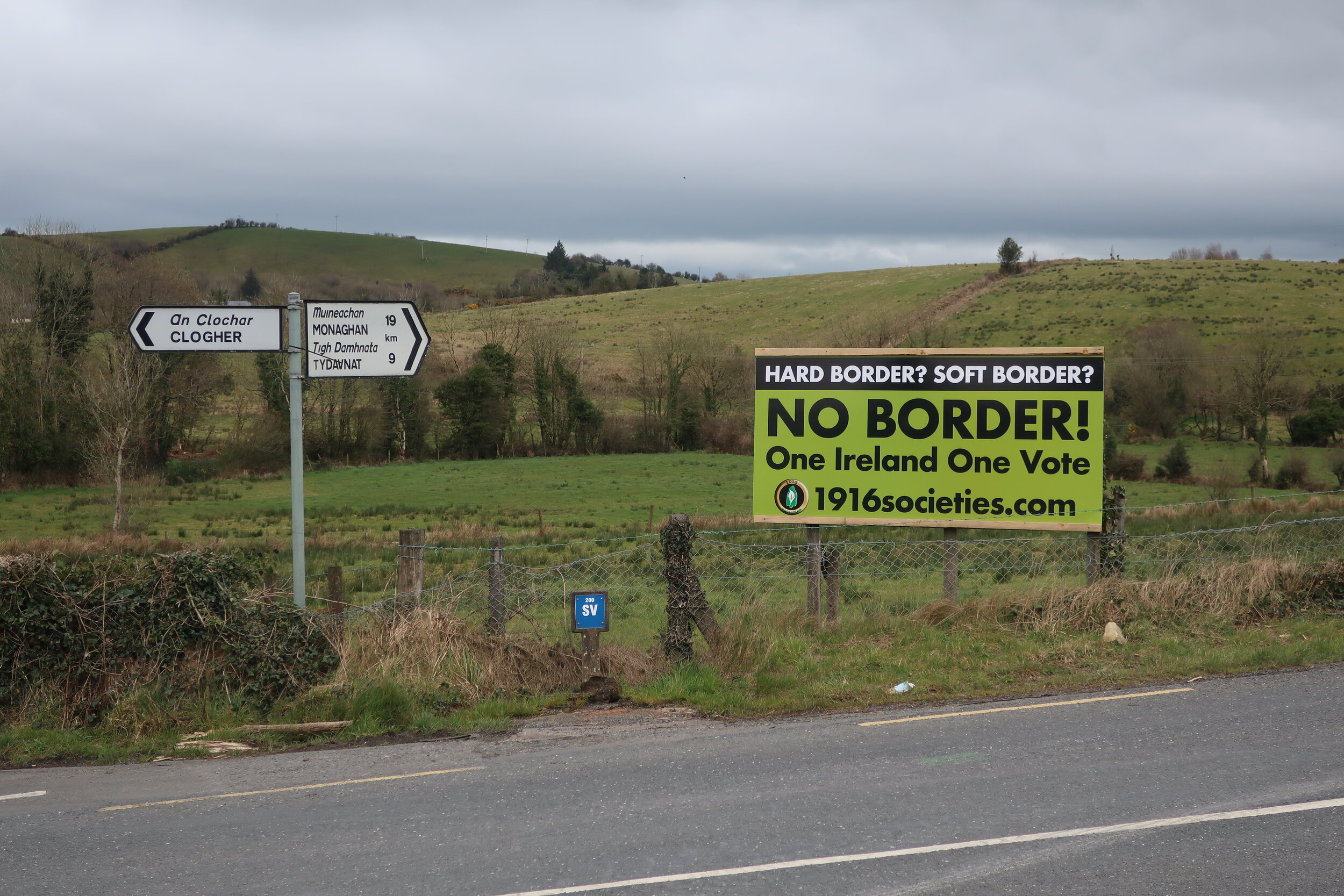
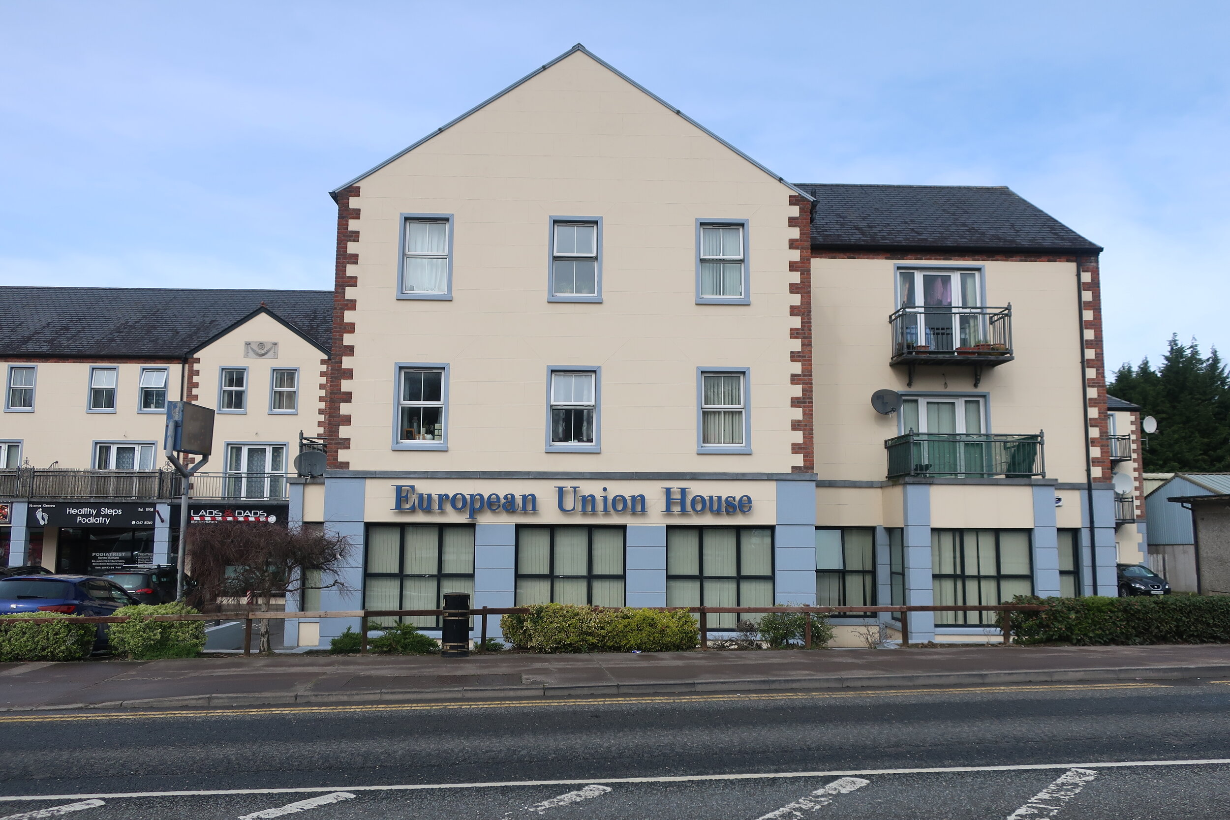
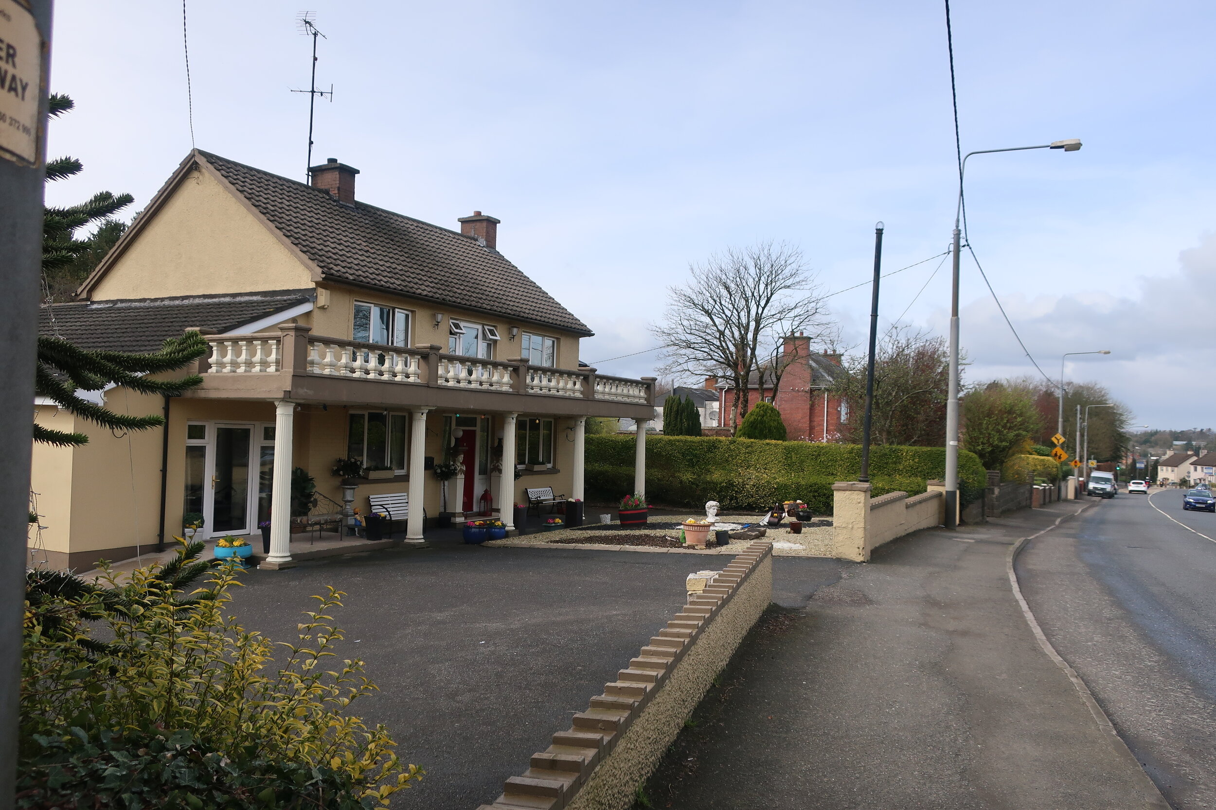
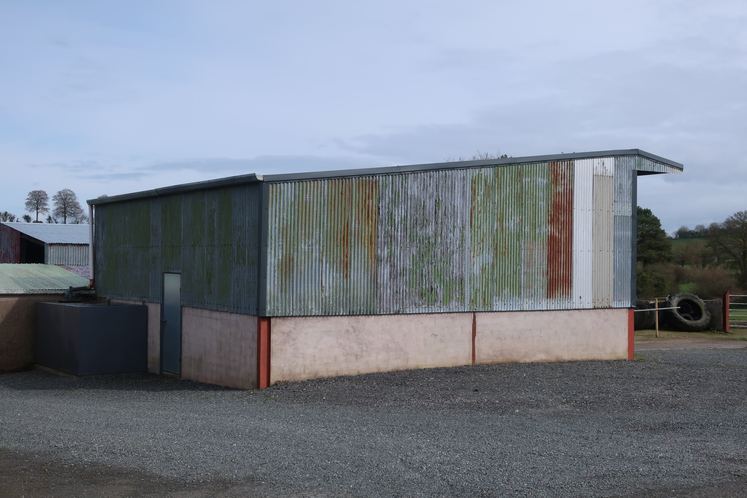
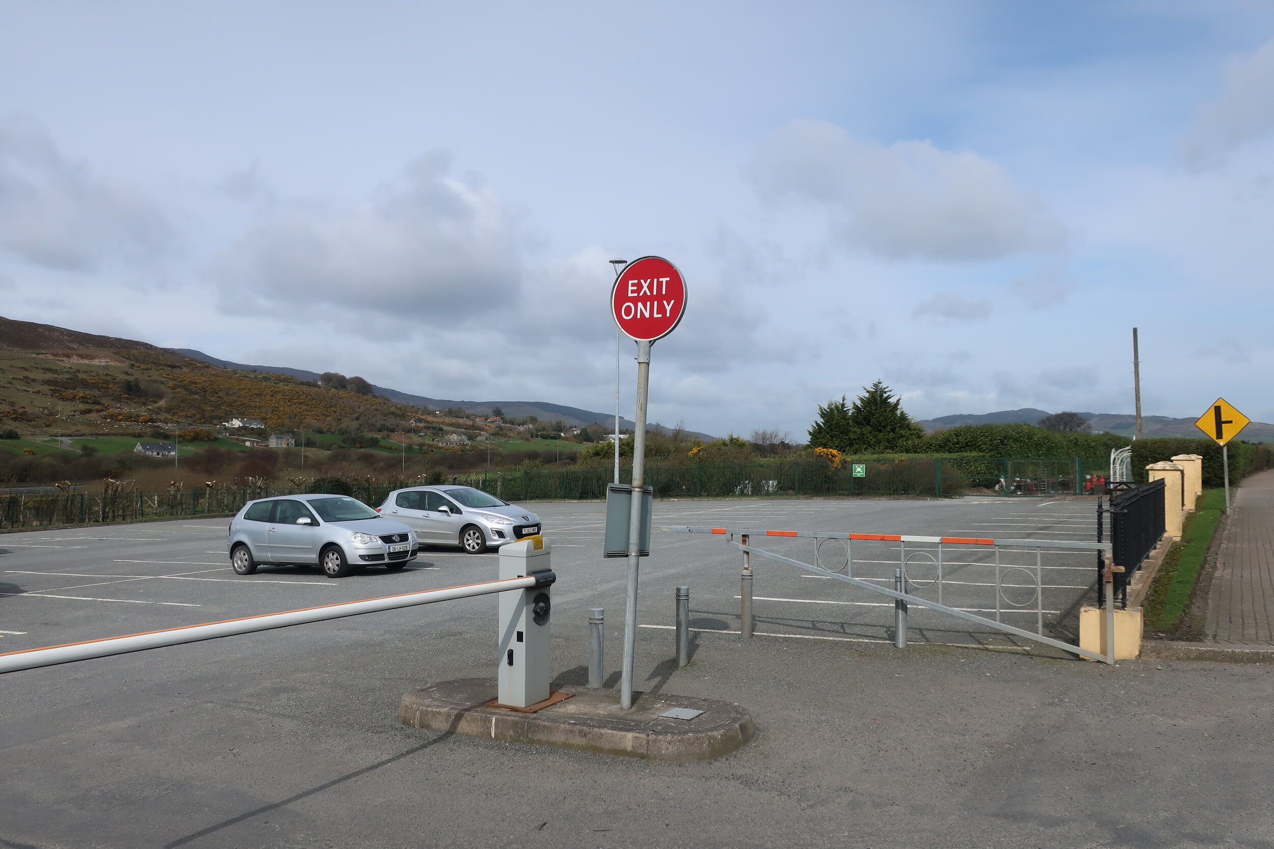
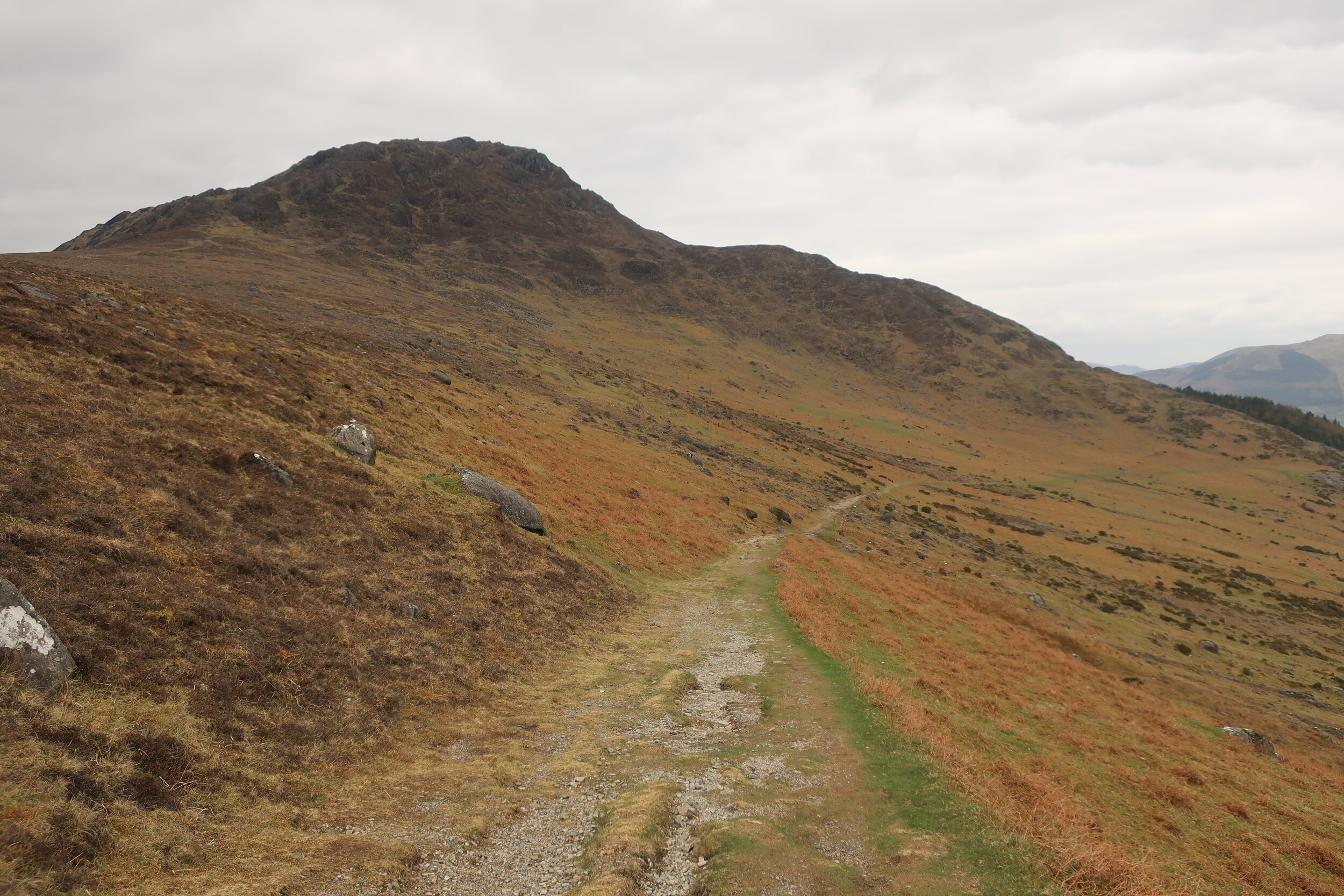
In March 2019, in the run up to what would have been the UK’s exit from the European Union, I walked the length of the contested border on the island of Ireland, starting in Doire and finishing in Cairlinn.
The below map and spreadsheets exist as an online work plotting 310 locations along the 310 mile border, each of which corresponds to a photograph I took as I walked. If you click on each of the points a photo will appear, click on the photo again to see the image larger. If you then click on the ‘directions’ arrow you can enter Google Maps and look at the site on Street View. You can also do this by entering the GPS co-ordinates into a new map.
These locations are then mapped again in the first spreadsheet, breaking the sites down in to states, counties, townlands (the traditional Irish delineation of space), translations in and out of the Irish language, GPS co-ordinates, and stream of consciousness lists of materials visible in each image. The following two spreadsheets reverse this relationship: firstly isolating the frequency each architectural and landscape material occurring in order to show what the borderlands are made of; and secondly identifying each photo that documents these materials in one place.